An innovative crowd collaboration project
THE PROJECT
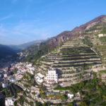
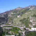
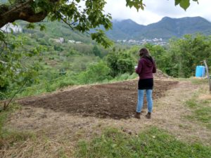
To map step by step parts of the terraces of the Amalfi Coast. This means collecting GPS data about the presence of terraces, their state, their vegetation and cultivation, and objects related to terraced landscapes: dry stone walls, waterways, cisterns, and others.
THE AIM
To obtain a map, an overview and data about the current state of the terraces of the Amalfi Coast, an idea about the quantity of dry stone walls and their maintainance state, and to understand the state of cultivation and vegetation. This will serve for landscape planning purposes
THE METHOD
Everyone with a smartphone can contribute. Via the app maps.me you sign points, make descriptions and send the data to us. We will insert it in our map on Open Street Map OMS.
|
CALL FOR PARTICIPATION and volunteers WE NEED YOUR SUPPORT! If you have time to make a nice walk throguh the terraces AND have a smartphone, YOU CAN CONTRIBUTE |
The aim of this project is to collect more data about actual state of the terraces and develop a protection strategy. We aim to involve as many people as possible: local authorities, representatives of different organizations of the Amalfi Coast, as well as private individuals who would be interested in contributing to creation of the map. The very special thing about OPEN MAPTER is, that to be a part of it, you don’t need to have nor very specific knowledge neither equipment. What you need is a smartphone with app MAPS.ME, a little free time and good will.
If you are interested in participating, write us a mail at staff@riservabiosferacostiera.org!
BACKGROUND ABOUT TERRACED LANDSCAPES
Terraces are horizontal fields established on steep slopes in order to be able to cultivate them and keep the water in the ground. With their different shapes, uses and made of different materials, terraces are a peculiar element of many European as well as global cultural landscapes. Terracing makes it possible to cultivate areas difficult to reach, but at the same time their maintenance and even cultivation itself requires a great deal of effort.
For this reason, in recent decades we can observe a gradual deterioration of the terraces. Farmers’ desire to reduce costs has led them to use cultivation and reconstruction methods (such as use of chemical fertilizers and cement to rebuild walls) that are threatening the environment and destructing the terraces.
We realize that the terraces, in addition to agricultural value, are a testimony of past times and traditional rural economy. Therefore, from the need to protect this extraordinary type of landscape, ACARBIO together with Amadeo di Marco and Antonia Gravagnuolo has started the project of collaborative mapping of terraces of the Amalfi Coast which will allow us to collect more data about their actual state.

Landscape mapping remains a fundamental tool for land management and planning. Collaborative mapping tools, based on “open” data sharing, can be effectively used for detailed mapping of terraced areas. Furthermore, presence of an extended network simplifies the management of any eventual problems in the use of the collaborative platform, thanks to the technical support they can be easily solved by the users themselves.
The objectives of the course are to provide a preliminary overview of the motivations that lead to the use of Open Street Map (OSM); secondly, it enables to get to know the whole process of making a personalized map; a final goal of a collaborative mapping activity is to create a collaborative thematic map.
In 2011 the Alliance World Association for Terraced Landscape — Italian Section (http://www.paesaggiterrazzati.it/) was formed. From 2018 also ACARBIO is part of the organization. The World Alliance regularly organizes conferences on the topic. The next one will take place on the Canary Islands in 2019 (http://terracedlandscapes2019.es/en/).
ONGOING PROGRESS
NOVEMBER 2018 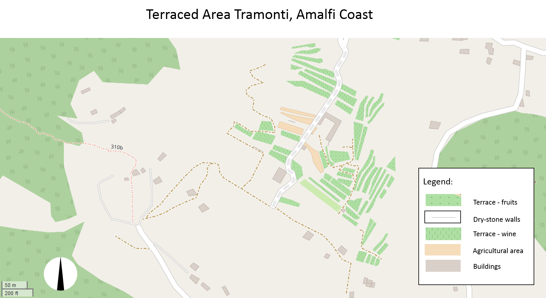
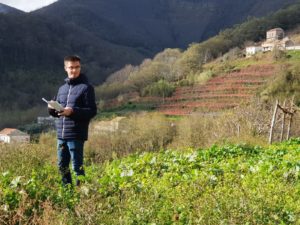
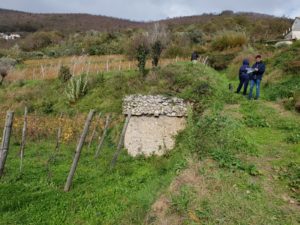
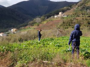
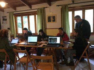
The third meeting under the Open MAPTER project took place on Sunday, 18 November 2018. Group of volunteers, using GPS and their smartphones carried out mapping of the terraces of Corsano fraction. They collected detailed information about terraces themselves and infrastructure of the area. Now we are another step closer to reach our aim and create map of terraces of the Amalfi Coast.
Find more information about the event here
SPRING 2018
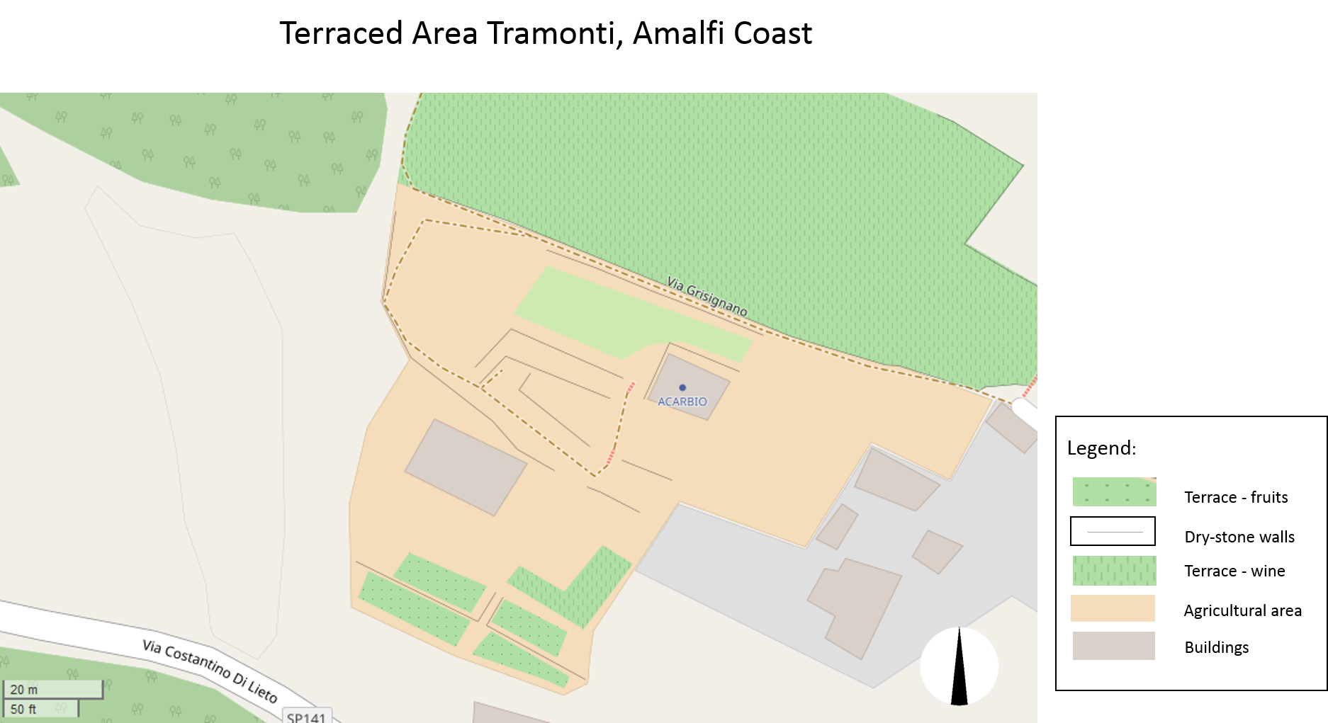
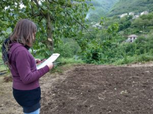
After the first meeting, during which our experts: Amedeo di Marco and Antonia Gravagnuolo had explained importance of OpenStreetMap system for OPEN MAPTER project, group of volunteers met again in May 2018 to elaborate mapping method that would make whole process as easy as possible and open for everyone. We identified all the elements of the terraced area to be included in future maps, created a classification system and then, we did the first test of the MAPS.ME app, mapping area near close to headquarters of ACARBIO.
In order to create an example of a map with all necessary elements we started mapping the terraces in may 2018. The map on Open Street Maps already created can be found here: https://www.openstreetmap.org/#map=19/40.69790/14.63310
Interview with our experts, Antonia Gravagnuolo and Amedeo di Marco:
INTRODUCTION. FEBRUARY 2018
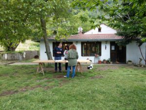
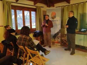
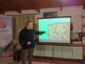
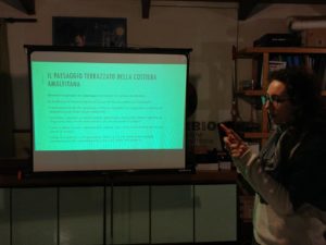
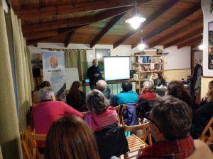
First meeting regarding project OPEN MAPTER took place on Saturday, February 10th 2018. Amedeo di Marco, Amedeo Di Marco, expert in data management in various fields, specifically geographic territorial data and Open Street Map and Antonia Gravagnuolo, researcher of CNR IRISS for the mapping of the elements characterizing terraced cultural landscapes, gave lecture “INTRODUCTION TO OPEN STREET MAP”, during which they talked about the importance of landscape mapping for land management and planning, and the role of collaborative mapping tools based on “open” data sharing in the detailed mapping of terraced areas. They emphasized how useful tool map of terraces of the Amalfi Coast could be for monitoring their state of preservation and developing a protection strategy in the future.

